

You are viewing the English version while Atiilu News prepares reviewed Inuktitut terminology and qualified language oversight.
Coast Guard confirms four shoals of unknown depth in Nunavut shipping zone
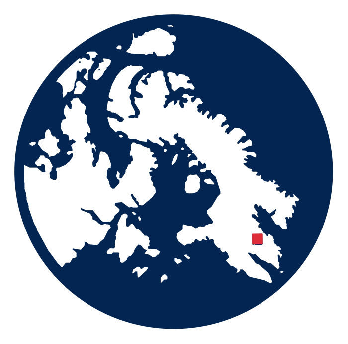
The Canadian Coast Guard has issued a NAVWARN confirming four shoals of unknown depth in Shipping Safety Control Zone 16. The Aug. 26 warning gives four positions on charts 5629 and 5630, providing mariners with a new identified hazard but not a closure, depth measurement or route restriction. Sourcenis.ccg-gcc.gc.ca↗
What happened
NAVWARN NW-A-0249-26 was published at 20:09 UTC on Aug. 26, 2026. It says four shoals of unknown depth were confirmed at 19:46 UTC that day in Shipping Safety Control Zone 16. The listed positions are 62°39.362'N, 91°59.630'W; 62°40.808'N, 91°44.653'W; 62°40.809'N, 91°46.528'W; and 62°41.376'N, 91°56.117'W. Sourcenis.ccg-gcc.gc.ca↗
Why it matters
The warning identifies a navigation hazard for vessels operating in the area during the Arctic shipping season. Because the Coast Guard describes the depths as unknown, the notice does not establish safe clearance over the shoals or confirm whether vessels must avoid a wider area. Sourcenis.ccg-gcc.gc.ca↗
What happens next
Mariners should consult the active NAVWARN and the listed Canadian Hydrographic Service charts, 5629 and 5630, when planning operations in the area. The Coast Guard record gives no expiration date, survey follow-up, corrected depth figures or closure notice. Sourcenis.ccg-gcc.gc.ca↗
Important details
This is a published navigation warning, not a shipping closure. The direct Coast Guard record was modified Aug. 27, 2026 and contains no linked supporting document or explanation of how the shoals were identified. Sourcenis.ccg-gcc.gc.ca↗
Comments
0 approved comments. Every comment is reviewed before appearing.
Comments appear here after identity verification and News Desk review.