

Coast Guard warns of unusually low water in Chesterfield Narrows
The Canadian Coast Guard has issued a navigation warning for Chesterfield Narrows after observed water levels were reported up to 0.5 metres lower than predicted. At low tide, water may fall as much as 0.1 metres below chart datum—the reference level used on nautical charts. Mariners are advised to use the observed tide-station levels and navigate with caution. Source↗
What happened
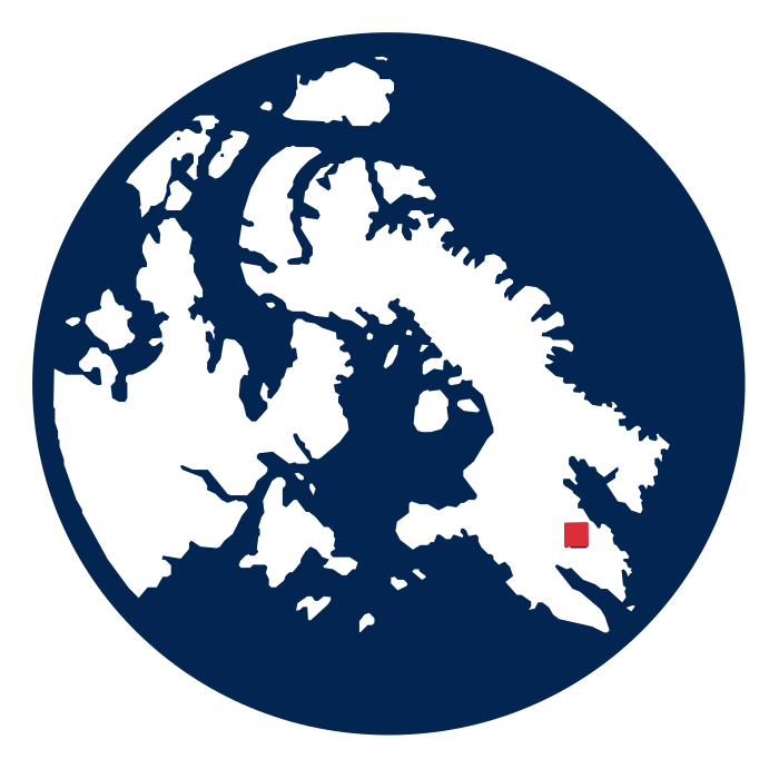
The Coast Guard published NAVWARN NW-A-0298-26 at 4:40 p.m. UTC on Sept. 16, 2026. It reports low water at tide station 05160 in Chesterfield Narrows, at 63°59.491'N, 94°18.157'W. The warning remained listed as published when checked Sept. 17. Source↗
Why it matters
Lower-than-predicted water can reduce the clearance available to boats travelling through the narrows, particularly around low tide. The warning is practical safety information for local marine users, cargo operators and other vessels using the area.
What happens next
Mariners should check observed water levels at the Chesterfield Narrows tide station, rather than relying only on predicted tides, and use caution while the NAVWARN remains in effect. The Coast Guard record does not give an end date. Source↗
Important details
Observed water levels are up to 0.5 m below predictions and may be up to 0.1 m below chart datum at low tide. The warning applies to Chesterfield Narrows and refers to Canadian Hydrographic Service chart 5625. This is a navigation warning, not a closure or a report of an accident. Source↗
Comments
0 approved comments. Every comment is reviewed before appearing.
Comments appear here after identity verification and News Desk review.